

There's no better mapping software or GIS at any price. Why spend more for less?
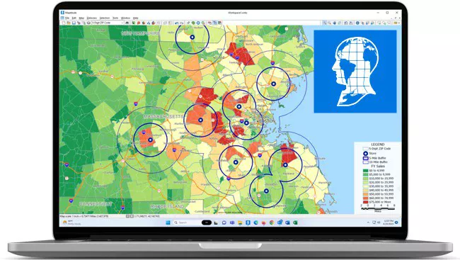
Maptitude Mapping Software gives you all of the tools, maps, and data you need to analyze and understand how geography affects you and your business.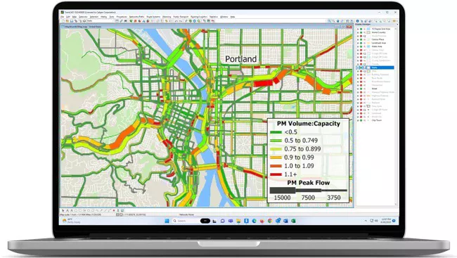
America's most popular and capable transportation planning software.
TransCAD Transportation Planning Software combines GIS and state-of-the-art methods for solving problems in transportation planning, management, and operations.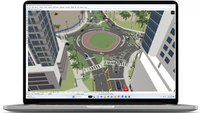
The best solution for microscopic, mesoscopic, and hybrid traffic simulation.
TransModeler Traffic Simulation Software and TransModeler SE Traffic Analysis Software are the most advanced traffic simulation and impact analysis solutions.
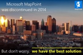 |
MapPoint Alternative: |
More Maptitude Solutions:
Maptitude Country Packages with HERE Maps data allow accurate address locating, superior street visualization, and robust data from which to calculate routes, drive-time rings, and territories. Available countries are:
Maptitude for Redistricting |
|
 |
Maptitude for Redistricting is the preferred redistricting tool of state legislatures, political parties, and public interest groups. Live Demo Demo Video |
 |
Transography™ Data Products and Services |
 |
New TransModeler Version |
 |
Traffic Analysis Software: |
 |
Travel Forecasting Research: |
 |
Phoenix Simulation: |
 |
Autonomous Vehicles: |
 |
Managed Lanes: |
 |
Transportation Accessibility: |
8-12 April 2024: TransCAD Training
7-9 May 2024: Maptitude Training
14 May 2024: Maptitude UK Training